Goodbye green, Hello deep ocean blue
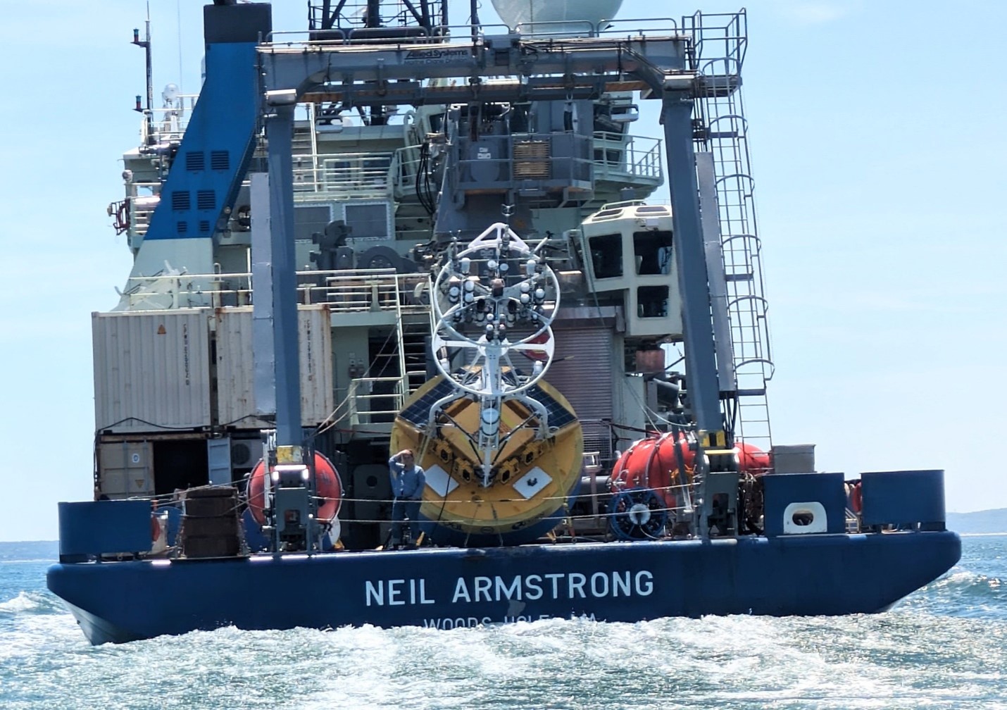
By H Furey The 2024 OSNAP field season is underway. The R/V Armstrong departed her homeport of Woods Hole on 02 June 2024, loaded with gear, and bound for the…
Overturning in the Subpolar North Atlantic Program
By H Furey The 2024 OSNAP field season is underway. The R/V Armstrong departed her homeport of Woods Hole on 02 June 2024, loaded with gear, and bound for the…
We are seeking a highly motivated physical oceanographer for a postdoctoral position at Woods Hole Oceanographic Institution. The postdoc will work with a team of researchers on “Overturning in the…
The job description can be found here: Senior PDRA in Physical Oceanography (D33/23.NF) — Scottish Association for Marine Science, Oban UK
The job description can be found here: Senior PDRA in Physical Oceanography (D33/23.NF) — Scottish Association for Marine Science, Oban UK
There is a vacancy for a Postdoc position in climate dynamics at the Geophysical Institute, University of Bergen, Norway, and the Bjerknes Centre for Climate Research. The position is for…
Two Ph.D. positions in physical oceanography/climate dynamics related to the overturning circulation in the Nordic Seas and Arctic Ocean are open at the University of Bergen, Norway. Both positions are…
Jannes Koelling, Jaime Palter, Ric Williams, Fiamma Straneo, Hilary Palevsky We’re hosting a session at OSM24 on ocean physics and biogeochemistry in the subpolar North Atlantic and would love to…
Dear colleagues Within my research group I have an opening for a PhD student to work on the physics of the Atlantic Meridional Overturning Circulation, using realistic and idealized models…
We are looking for a postdoc in physical oceanography to join the Straneo Lab and the Scripps Polar Center. The postdoctoral researcher will investigate the ocean circulation in the Irminger…
Full Job Description We are seeking a postdoc scientist to work on large-scale physical controls on nutrient availability and productivity in the North Atlantic Ocean using satellite observations, models, Biogeochemical-Argo,…